NJ ADAPT
Data-visualization and mapping tools
NJ ADAPT is a suite of data-visualization and mapping tools developed by Rutgers University. The NJ ADAPT tools are designed to assist planners, community leaders, businesses, and residents to understand and adapt to the impacts of climate change on people, assets, and communities in New Jersey. Click on the buttons below to select the tool you would like to use.
Climate Dashboard
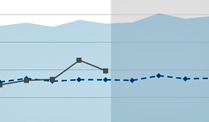
New Jersey climate trends in moderate and high emissions scenarios
Climate Planning Tool
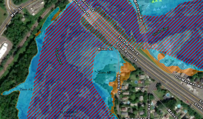
A guide to using coastal flooding data in climate change planning
Climate Snapshots
Climate risks summarized by municipality, county and statewide
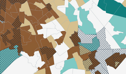
Local Planning Navigator
A decision-support tool for building community resilience
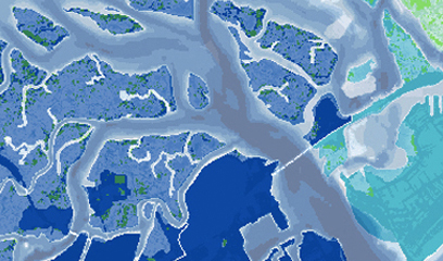
NJ FloodMapper
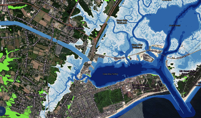
An interactive flood exposure data mapping tool
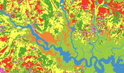
NJ Forest Adapt
A data mapping tool for forest management
NJ HazAdapt
Data and resources for hazard mitigation planning
NJ Public Health Adapt
Climate planning for improved health outcomes
NJADAPT is a planning tool; it is not designed to render determinations as to the regulatory status of an individual property. Rutgers is constantly improving NJADAPT with new data, applications, functions, and tools. If you would like to be notified of updates to NJADAPT as well as trainings for its use, please join our mailing list. We welcome your feedback; please send us comments or examples of how you use NJADAPT.
 Angel Alguera
 Daniel Gilkeson
 Benjamin Goldberg
 Surya Jacob
 Vineesh Das Kodakkandathil
 Douglas Leung
 Nihar Mhatre
 Justin Morris
 Josephine O’Grady
 Jessica Parineet
 Dillan Patel
 Moira Sweeder